 Meteor APT image of Iceland. Four glaciers are visible as light areas in this image.
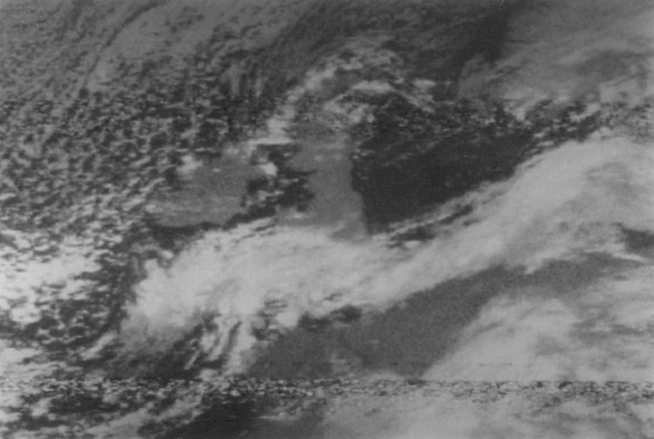 Meteor APT image of East Anglia under cloud.
Orwell Astronomical Society (Ipswich)
Satellite Weather Maps
Every UK astronomer knows of the frustration caused by cloudy weather. But for the price of a medium-sized telescope it is possible to gain advance knowledge of likely cloud cover via weather images transmitted continuously by American NOAA (National Oceanic and Atmospheric Administration) and Russian Meteor satellites. The satellites are in polar orbits, the NOAAs at a height of approximately 800 km and the Meteors at about 1200 km. Images may be received directly from the satellites whenever they are above the horizon. The satellites clear the horizon at a distance of up to 3500 km, meaning that for receivers in the UK they cover the geographic area from the Sinai Peninsula or the Canaries in the south to Greenland or Spitzbergen in the north. They therefore provide images covering all of Europe together with parts of North Africa, Greenland and Russia as far east as the Caspian Sea.
To receive the satellite images you'll need a simple crossed-dipole aerial, a radio receiver, a demodulator which plugs into your computer and of course software to decode and display the pictures. Assuming that you already have the computer all the rest is available as a complete system from at least two suppliers in the UK [1,2] with a basic system costing about £500 ready to receive pictures. The radio receiver is tuned to the 137 MHz band and, as it is equipped with a loudspeaker, the signals from a satellite can be heard as it rises above the horizon. The NOAA satellites sound like a regular, snappy tick-tock; the Meteors, on the other hand, have a definite chug-chug sound more characteristic of Eastern European technology.
The satellites transmit in two different modes. The first is APT (Automatic Picture Transmission) which means that the satellite transmits continuously an image of what is directly below it. In this mode the picture builds up on the computer screen line by line at two lines per second. If the satellite is flying from south to north the picture comes out upside down, and if it's a Meteor imaging in infra red the picture is effectively a negative so identifying the geography on a cloudy day is often difficult! In APT the resolution on the ground is approximately 5 km which is fine for general cloud patterns and coastal outlines as can be seen from the images below.
Meteor APT image of Iceland. Four glaciers are visible as light areas in this image.
Meteor APT image of East Anglia under cloud.
The other transmission mode is HRPT (High Resolution Picture Transmission) which is just what the name implies. The HRPT images have a resolution on the ground of 1.1 km and use five different wavelengths to construct the image. The result is much clearer pictures than APT with considerable detail being visible including cities, towns and even differences in vegetation. However, receiving the extra detail attracts a premium price - approximately £2000 in fact! The satellites transmit HRPT images at 1.6 GHz and a steerable dish is required to receive them which makes the whole set-up much more specialised.
It is also possible to receive images from geostationary weather satellites. These also transmit at 1.6 GHz but do not move in the sky so a stationary dish can be used. They also have the advantage that the entire hemisphere below the satellite can be imaged at once. They transmit a sequence of pictures on a regular timetable giving not only whole disk images but also close-ups at regular intervals. From these pictures it is possible to make the time-lapse sequences that are often seen on TV weather updates.
[1]
Comar Electronics, Unit 10, Samuel Whites Estate, Medina Road, Cowes, Isle Of White, P031 7LP. Tel. 0983 200308.
[2]
Timestep Weather Systems, Wickhambrook, Newmarket, CB8 8QA. Tel. 0440 820040.
Mike Harlow